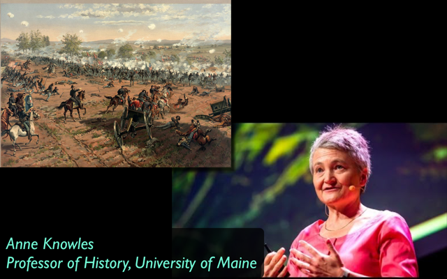
00:03 Introduction by Jon Ippolito
00:43 Introducing DIG students.
Including Jo Ana Morfin (Mexico City), Shelley Lightburn (Tanzania), Katrina Wynn and Colin Windhorst (Maine), and later Patricia Prescott and Paul Smitherman.
01:26 Anne introduces historical geography
03:53 GIS (Geographic Information Systems) versus GPS
04:30 "95% of information collected by humans is geographic"
06:22 Extracting digital insights from analog maps
07:30 Mapping the battle of Gettysburg
11:51 How to digitize an analog map
12:57 What could Robert E. Lee see at Gettysburg?
15:54 Shelley Lightburn on using geographic data for the United Nation's Missing Persons project
17:21 The need for better education about maps
18:18 Shelley on maps as crucial evidence in the International Criminal Tribunal
18:48 Viewshed analysis: what can be seen from points on a map
20:02 Mapping community health needs in rural Maine with GIS
22:03 Jo Ana Morfin on mapping as a generalizable practice
24:09 How to trace a printed map to produce a digital one
27:52 Combining analog maps with "digital stitching"
28:53 Scanning very large maps
30:48 Digitizing globes at the Osher library
31:16 Patricia Prescott on gantry scanners and cameras
32:31 The Holocaust and the limits and potentials of digital scholarship
32:45 Geographies of the Holocaust book
35:10 Mapping the difference between rhetoric and reality at Auschwitz
36:36 The problem with "perpetrators' maps"
36:50 Geographic distribution of concentration camps
38:19 How can we represent the qualitative experience of victims?
39:10 Tagging survivor testamonies with keywords
40:12 Natural language processing of transcripts
Comparing timelines of stories to correlate keywords like "Auschwitz," "bread," and "Labor."
41:40 Beyond geographic maps: linguistic and emotional correlations
43:14 Authoritative v. subjective: perpetrators' facts and victims' stories
45:12 Natural language processing v. corpus linguistics in Shoah testimonies
47:04 Patricia on maps in maritime history
47:20 Colin on individual stories within large-scale systems, as in Schindler's list
48:35 Broader issues of digital curation
49:03 Colin on inferring human stories from data in rural Maine
50:22 Can interactive books bring human voices to mapping?
51:37 Paul Smitherman on comparing genders with Big Data techniques
52:19 The Maine Historical Atlas
53:07 Jo Ana on documenting political graffiti
54:35 Crowdsourcing metadata for the 60,000 keywords in Shoah videos
55:12 Another example of crowdsourcing: Art Crimes graffiti website
56:30 What should we archive in our increasingly visual world?
The implicit bias of archivists and curators; Jo Ana's Museum of Counterculture.
58:44 Colin: "Graffiti in ancient Rome was a pretechnological Twitter"
59:08 Challenges of opening up the Shoah archive
61:13 Scalar, open archives, and linked data
62:39 Do we risk bias by importing implicit spatial metaphors into the digital world?
65:58 Drawing by hand to awaken the spatial imagination
66:41 Paul: Is there a "human geography of Facebook"?
Anne: "The digital divide is really geographical."
This teleconference is a project of the University of Maine's Digital Curation program. For more information, contact ude.eniam@otiloppij.
Timecodes are in Hours: minutes
In this teleconference, Anne Knowles joined students and alumni of the UMaine Digital Curation graduate program to answer questions about how geographic data can illuminate history.
 The author of numerous books on spatial history, Knowles is best known for her work in using sophisticated mapping technologies to tell stories about trauma sites such as the Holocaust. She is the recipient of fellowships from the Guggenheim Foundation, the Association of American Geographers, the National Endowment for the Humanities, and the American Council of Learned Societies. Recorded on 18 November 2016, this conversation ranged from what General Lee could see at the Battle of Gettysburg to finding humanity in Auschwitz.
Watch the entire video or choose an excerpt from the interactive menu below.